

Atsunta Pass, which connects Tusheti and Khevsureti, offers a spectacular adventure. But for cycle tourists, the reality may be very different from what the maps and photographs suggest.
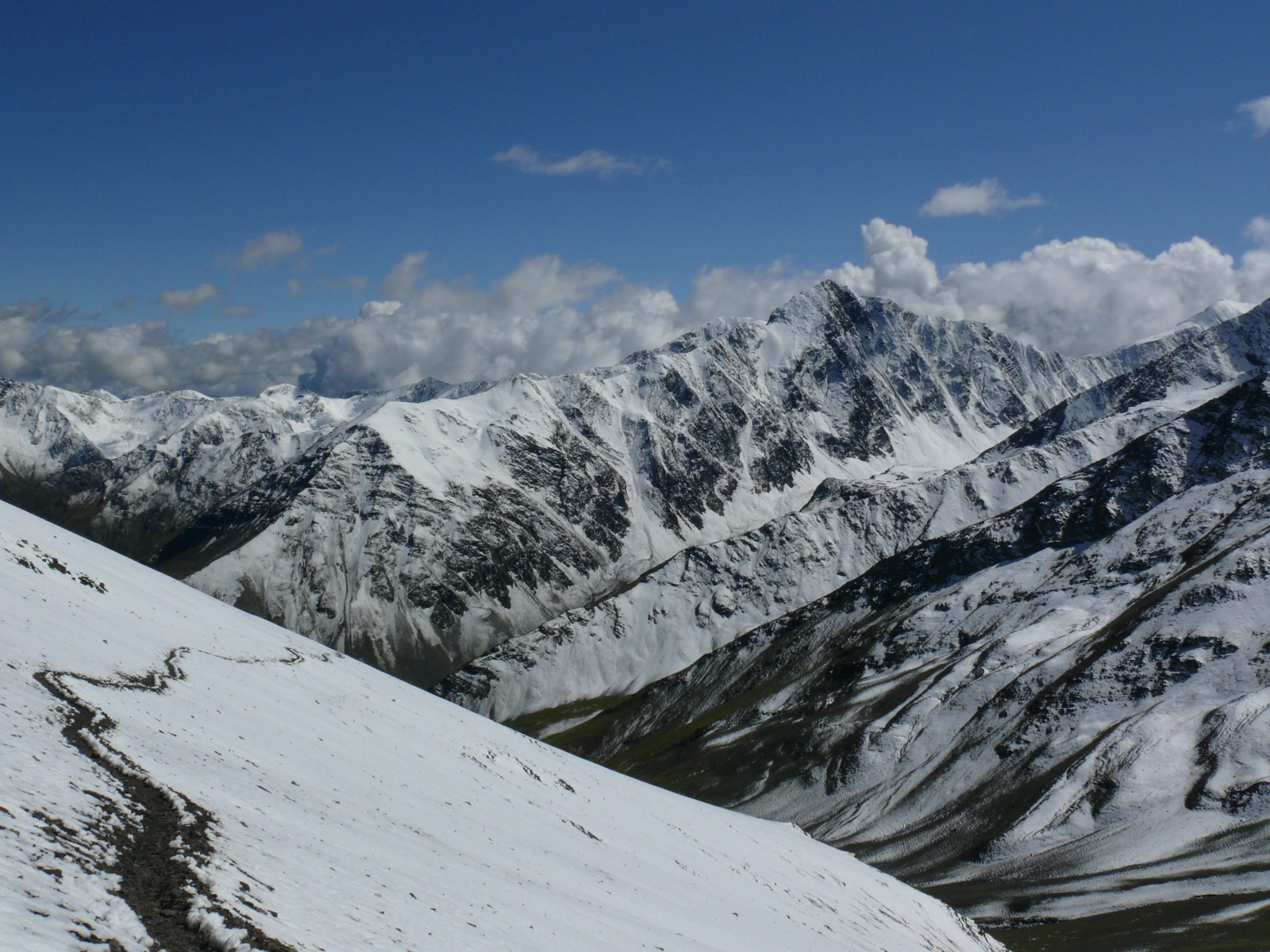
When planning a cycling trip in Georgia, Tusheti and Khevsureti stand out. High mountains, ancient villages, narrow trails, and breathtaking views are exactly what adventure travellers seek.
International cycle tourists often discover the Caucasus Crossing: Georgia route on Bikepacking.com and want to ride it. At CCN, too, we hear from people particularly interested in crossing from Tusheti to Khevsureti via Atsunta Pass. Yet conversations often reveal that they have little idea how much time they may spend pushing or carrying their bicycles.
This distinction is crucial when choosing a route. Atsunta is not a bad route. It simply is not a conventional cycling tour, because much of the crossing can only be completed on foot, pushing or carrying a bicycle.
Why might the Bikepacking.com page create the wrong expectations?
The Caucasus Crossing is a route of approximately 1,278 km linking different regions of Georgia. Its page states 97% Rideable (time). That figure applies to the full route, not to the specific crossing over Atsunta Pass.
One important clarification: Bikepacking.com does not conceal the difficulty. Author Cass Gilbert describes Atsunta as one of the route’s most challenging sections and warns readers that they may face two tough days of hike-a-bike between Shatili and Tusheti. He also discusses options to modify the route or bypass this section.
The problem arises when travellers look at the photos, download the GPX file, and automatically assume that the figure for the entire route applies to Atsunta as well. “It is possible to get through with a bicycle” and “I will spend most of the journey riding” are two different things.
When a bicycle turns from transport into a burden
Hike-a-bike refers to sections where cyclists must push, lift, or carry their bicycles. This is common on mountain-bike trips, but on Atsunta it may become not just a brief obstacle, but the main activity of an entire day.
Steep climbs, narrow hiking trails, loose rocks, and difficult descents become particularly demanding when the bicycle is loaded with bags and equipment for a multi-day trip.
In one personal account published on Bikepacking.com, the authors describe taking three full days to cover approximately 25 km from Ardoti to Girevi. Their bicycles were overloaded for a long journey. This experience does not apply to every traveller, but clearly shows how much equipment and expectations matter.
Direction matters too. Travelling from Tusheti to Khevsureti and going the other way involve different climbs, descents, and rideable sections. An experienced MTB traveller on a lightweight bike may be able to ride parts that others will have to walk.
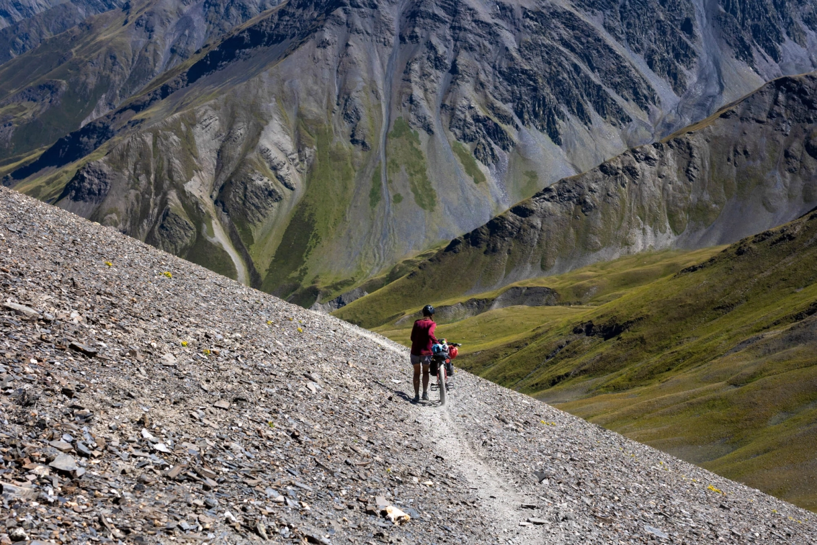
Above all, this is a hiking crossing
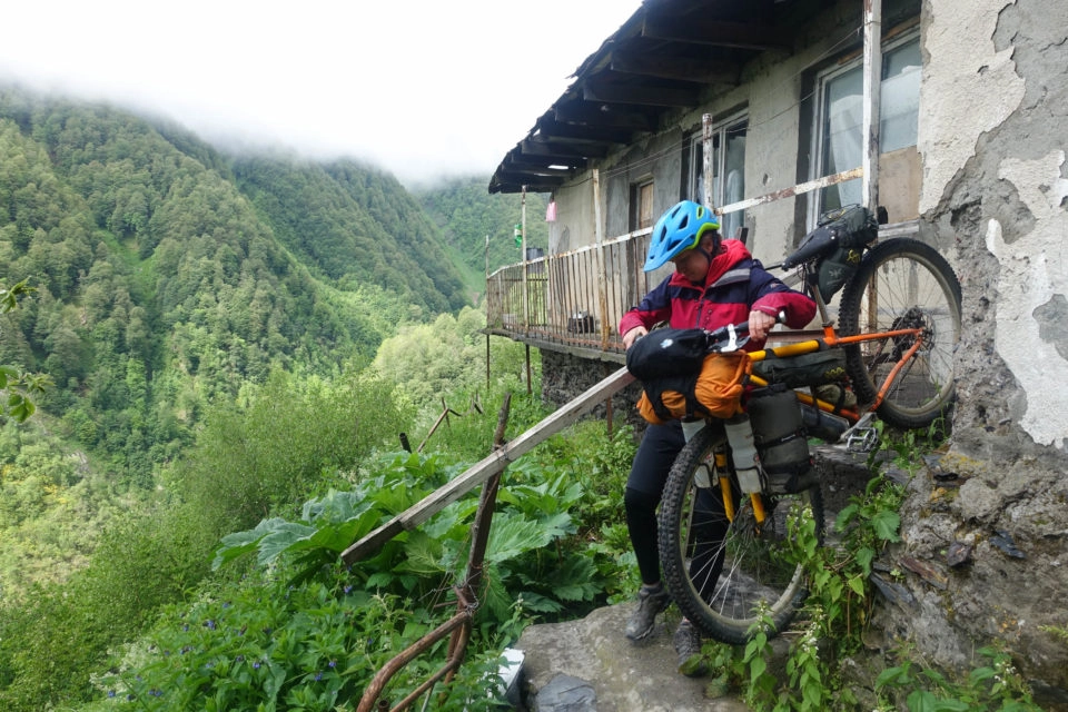
The Caucasus Trekking guide describes the Omalo–Shatili crossing as an approximately 75 km, four-to-five-day hike. The trail crosses Atsunta Pass at around 3,430 metres above sea level. Those distances and timings refer to hiking and cannot automatically be used to estimate travel time with a bicycle.
A hiker can move slowly along a narrow trail, use their hands on a steep section, and carefully step over rocks. A cyclist must make the same movements while managing the added weight and bulk of a bicycle. That is why a route of moderate difficulty on foot can become extremely difficult with a bike.
Altitude, rivers, weather, and remoteness
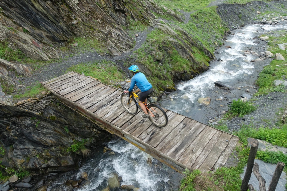
At this altitude, strong winds, rain, fog, and snow are possible even in summer. Bad weather makes movement on steep, loose ground even more dangerous. River crossings also require attention: for example, water levels at the Kvakhidistskali crossings may rise after heavy rainfall or snowmelt.
There are hiking shelters along the trail, but their availability should be checked in advance. This is a remote high-mountain environment, and rapid assistance cannot always be relied upon.
The season is limited, too. Conditions change from year to year: in 2026, for example, the crossing was not expected to become possible until after the beginning of July because of snow. Always check the latest information before setting out.
Border-zone permits must also be considered. According to the official rules of the Georgian Border Police, the relevant permission is required for both Georgian citizens and foreigners travelling in the border zone. Check the requirements for your particular route in advance.
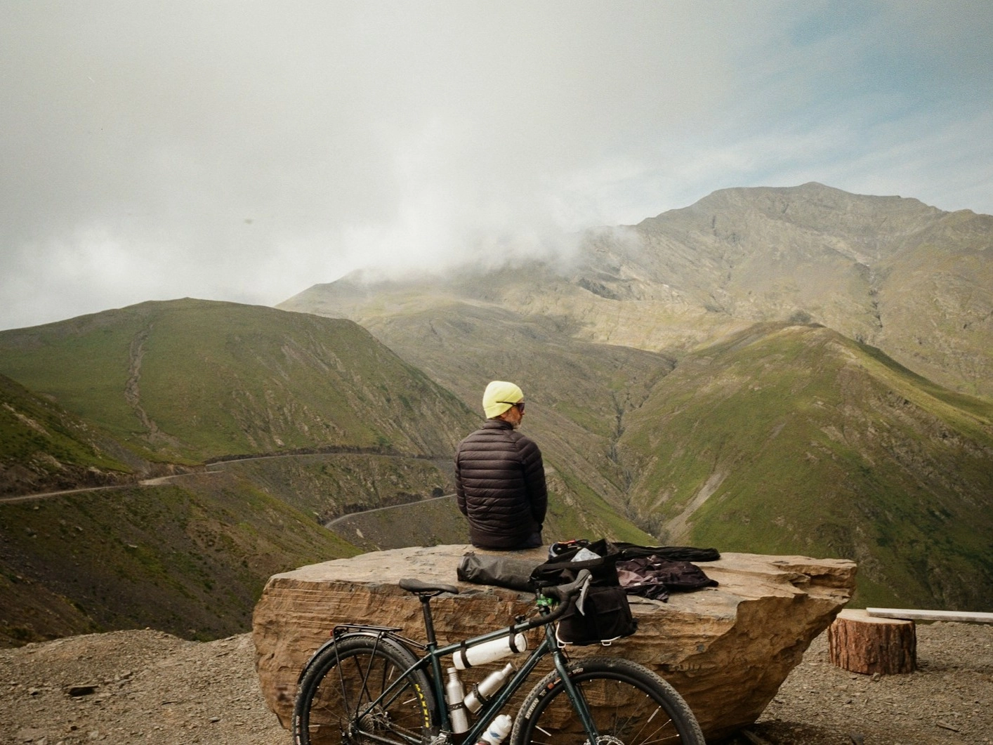
Even experienced travellers may choose another route
In another trip report on Bikepacking.com, the authors explain that they left Atsunta out of their itinerary: the pass was still closed in June, and accounts of the difficult terrain gave them additional reason for caution. They continued travelling around Georgia and visited Tusheti by a different route.
This is a useful reminder: changing your route is not a failure. Often, it is part of a well-planned and more enjoyable cycling trip.
Who might Atsunta be a good choice for?
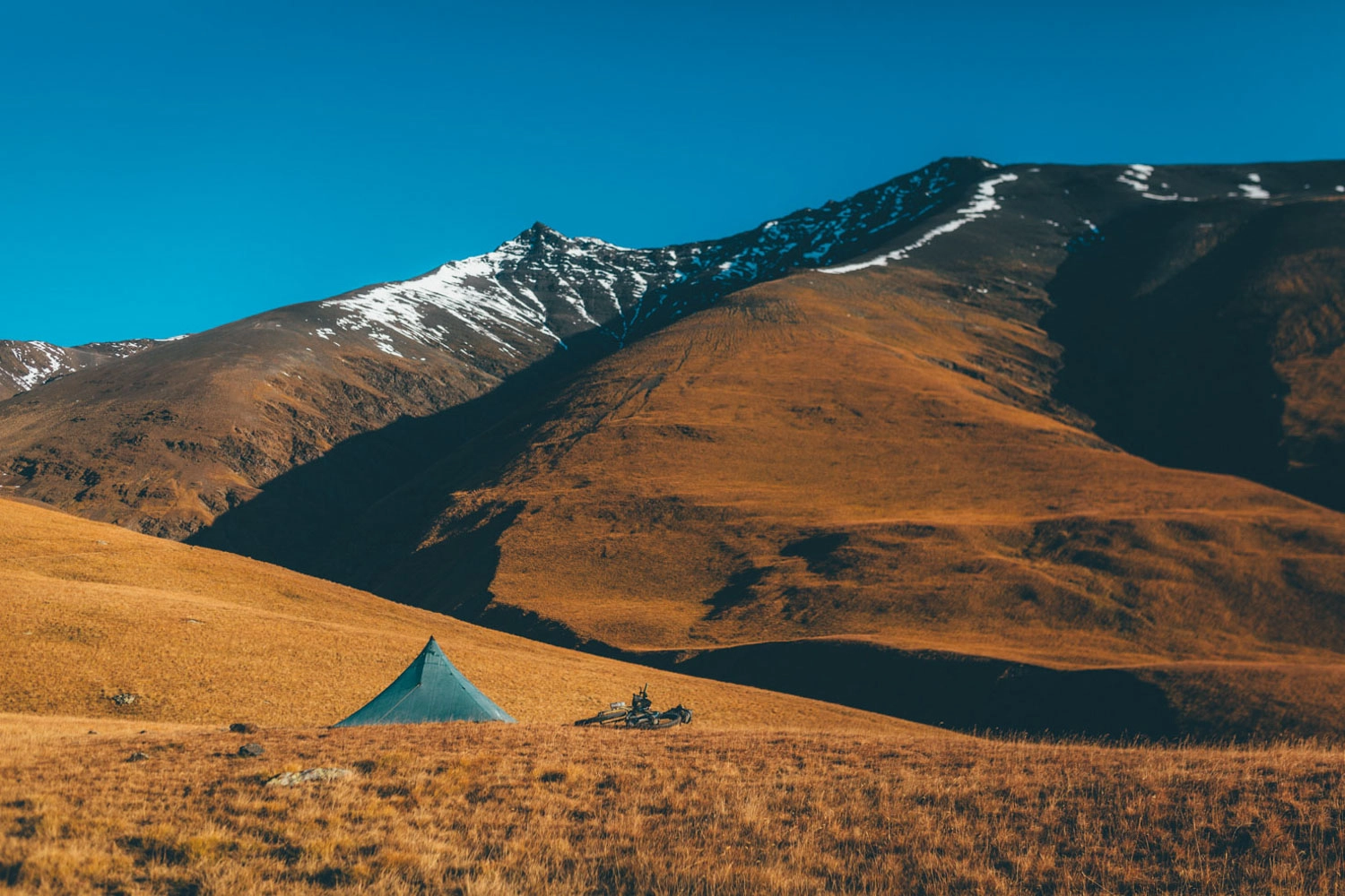
Atsunta may appeal to people who already have experience with long hike-a-bike sections, can navigate technical mountain trails, use lightweight equipment, and are prepared to make independent decisions in difficult conditions. For them, the feeling of an expedition-style crossing may be exactly the attraction.
But if you want to spend most of your journey pedalling, enjoying landscapes, meeting local people, and planning reasonably predictable daily distances, Atsunta is probably not your best option.
You can visit Tusheti and Khevsureti without crossing Atsunta
Tusheti is a wonderful cycling destination even without crossing Atsunta. The road towards Omalo via Abano Pass and the unpaved roads connecting Tusheti’s villages make it possible to plan a separate multi-day tour. These routes are also challenging and require proper preparation, but the bicycle remains much more central as a means of transport.
Khevsureti can also be a cycling destination in its own right. The best choice depends on your bicycle, your experience, the season, and what you hope to enjoy on your trip.
In conclusion
Atsunta Pass is a beautiful and exceptional high-mountain crossing. Taking a bicycle across it certainly makes sense for those who deliberately choose a demanding expedition. But it should not be considered an ordinary cycle tour.
Before downloading a route from Bikepacking.com, do not rely only on the photos. Read the difficulty description, check the individual sections, and assess your own abilities realistically.
Finally, ask yourself one question: Do you want to travel by bicycle, or travel with a bicycle?


Comments (0)
No comments yet.